In a month's routineLearn your home line in the first week, ride every main line once in the second, and by the fourth you will know which exit stays dry in the afternoon rain.
For a month in Kuala Lumpur, the rail network is your best friend. The city's traffic is heavy, its pavements can be broken and hot, and distances are larger than they look on a map. The trains, by contrast, are mostly clean, air-conditioned, frequent and cheap, and they reach most of the places where you are likely to live, shop or explore. The difficulty is that the network grew piece by piece, with different types of trains, separate stations and lines named in several ways. A little understanding goes a long way.
The main types of line
The network includes several kinds of railway, which together form one integrated system for most travellers.
- LRT, light rail: three lines, including the busy, driverless Kelana Jaya Line and the older Ampang and Sri Petaling lines.
- MRT, mass rapid transit: newer, larger lines, including the Kajang Line and the Putrajaya Line, mostly driverless and partly underground.
- KL Monorail: an elevated single-rail line looping through the central shopping districts.
- KTM Komuter: suburban trains on the main-line railway, serving places such as Batu Caves and Port Klang.
- Airport trains: express and stopping services from KL Sentral to the main airport.
The lines a long stay uses most
The Kelana Jaya Line runs from the southwestern suburbs through Bangsar, KL Sentral, Pasar Seni, Masjid Jamek, Dang Wangi, Kampung Baru and KLCC, and on to the northeast. It is often the backbone of a stay in the centre, and its trains run every few minutes for most of the day, more often at peak times.
The MRT Kajang Line runs from the northwest through Taman Tun Dr Ismail, the museum area near KL Sentral, Pasar Seni, Merdeka and Bukit Bintang, and on to the southeast. It is the fast link between the green western suburbs and the centre.
The KL Monorail runs from KL Sentral through Bukit Bintang and up to Chow Kit and Titiwangsa. Slower and smaller than the others, it serves the shopping and entertainment districts directly.
The KTM Komuter runs from KL Sentral to Batu Caves on one branch, a useful line for the temple caves, and to Port Klang and other suburbs on others.
A little understanding goes a long way.
Swapping from one line to another
KL Sentral is the main hub: the Kelana Jaya Line, the Monorail, the Komuter, the airport trains and long-distance services all meet here, with the MRT at Muzium Negara a short walk away through a covered link. Some interchanges elsewhere in the network are true connections within one station; others involve walking between separate stations, sometimes through malls or along covered walkways, and sometimes outside in the heat or rain. Masjid Jamek and Pasar Seni in the old centre are important interchanges between lines.
Signs in stations and maps on platforms show the lines in their colours and the interchanges clearly, usually in Malay and English. Allow extra time for changes in your first few days, and expect long walks at a few of the bigger stations. Station exits are lettered or numbered, and choosing the right one can save a long walk in the sun; note the exit nearest your home on your first day.
Tickets, cards and fares
Single journeys can be paid with tokens or tickets from machines in stations. For a long stay, most people use a stored-value transit card, sold at stations and many convenience stores, which can be topped up and tapped at the gates, and which also works on many buses and at toll roads and car parks. In recent years, contactless bank cards have been accepted at many gates too. Monthly passes have been offered for unlimited travel on many lines, which can be good value if you ride every day; terms change, so check the current options.
Fares are low by international standards and depend on distance and, on some lines, on the type of ticket used. Keep your card topped up, because a card with too little credit will not let you out of the exit gate. Top-up machines and counters are found in most stations, though some accept only cash.
Long-distance trains
From KL Sentral, electric trains run north to Ipoh and beyond toward Penang, and south toward the border with Singapore, with connections onward. These intercity services are fast and comfortable, and they make weekend trips easy; see the notes on Ipoh in the weekend section. Tickets for popular weekend trains sell out, especially before public holidays, so book a few days ahead.
Habits for the trains
- Peak hours, roughly early morning and early evening on weekdays, are crowded; travel outside them if you can.
- Some trains have women-only coaches, marked in pink on the platform and the train.
- Eating and drinking are not allowed on trains and in the paid areas of stations, and fines apply.
- Durian, the strong-smelling fruit, is famously banned from trains.
- Give up priority seats to older people, pregnant women and people with disabilities.
Buses and the free city loops
Alongside the rail lines, a large network of city buses runs across Kuala Lumpur and its suburbs, with feeder buses linking many stations with nearby neighbourhoods. In the city centre, free bus services have run on several loop routes, linking major districts, stations and attractions, a useful option for short hops in the heat. Routes, frequencies and whether they remain free change from time to time; check the current information at stations or online.
Ride-hail and taxis
Ride-hail apps are widely used in Kuala Lumpur and are often the easiest way to cover the last stretch from a station or to travel late at night. Metered taxis also operate, though some drivers prefer to agree a fare; insist on the meter or use an app. During heavy rain, demand for cars rises sharply and waits can be long, which is one more reason to know your nearest station well.
Covered walkways and the last mile
The hardest part of many journeys is not the train but the walk at either end. The city has been building covered walkways and pedestrian bridges to link stations with nearby buildings, and some, such as the walkway between KLCC and Bukit Bintang, are long and air-conditioned. Elsewhere, feeder buses, ride-hail apps and taxis fill the gaps. When you choose a place to stay, the walk from your door to the nearest station, in the midday heat or the afternoon rain, is worth testing in person.
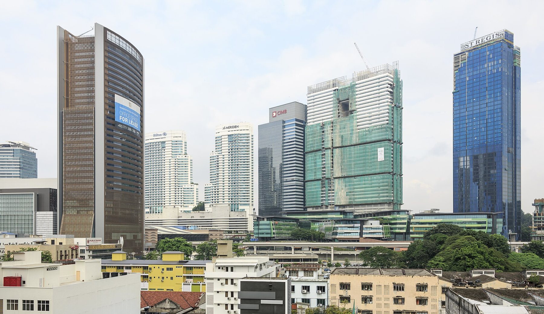
For a neighbourhood right on top of the hub, read Brickfields; for the first errands of a stay, including your transit card, read the first week.
Every photo on this page was shared under an open licence. Names, licences and original files are on pictures on the tags.